
Famous places in venezuela: choosing the right regions for your trip
A visit to Venezuela can mean watching a ribbon of water drop from the edge of a tabletop mountain, walking beneath palms on an undeveloped Caribbean beach, or searching the flooded grasslands of Los Llanos for capybaras and wild birds. Those experiences are separated by long distances, different climates, and very different travel demands, so the most useful starting point is not simply a list of landmarks. It is a decision about which parts of the country suit the time, interests, and conditions you can comfortably manage.
The major destinations fall into several distinct groups. Angel Falls and the tepuis of Canaima dominate the south, where roads are long and the greatest rewards involve wilderness scenery. Los Roques, Morrocoy, Choroní, and the Paraguaná Peninsula cover the Caribbean coast, where boat trips, reef scenery, and beach time shape the trip. The Orinoco and Los Llanos provide wildlife experiences across rivers, islands, and seasonally flooded plains. Farther west, the Andes support cooler highland cities, mountain scenery, and the cable car ascent to Pico Bolívar. The dunes around Coro and the colonial center of Caracas add cultural and historical stops.
That range is exceptional, but it can make Venezuela look difficult or expensive to tour. A focused itinerary is usually more rewarding than an attempt to cross the entire country. Most travelers do better with two principal destinations, a buffer day for long transfers, and a flexible plan that can adapt to weather, road conditions, and official guidance.
Venezuela’s travel situation can change quickly. Before booking any part of a journey, check the current U.S. State Department travel advisory, the latest information from the U.S. Embassy in Caracas, and practical updates from your airline or tour operator. Conditions in one region may differ from conditions in another, and an entry rule, transportation arrangement, or payment method described months earlier may no longer be current.
| Region | Best-known places | Main appeal | Plan for |
|---|---|---|---|
| Southern Venezuela | Angel Falls, Canaima, Mount Roraima trek | Tepuis, waterfalls, rivers, and remote wilderness | Long road transfers, limited services, weather-dependent excursions, and guided logistics |
| Caribbean coast | Los Roques, Morrocoy, Choroní, Paraguaná | Beaches, reefs, sailing, diving, and coastal villages | Boat schedules, island transfers, sun exposure, and variable sea conditions |
| Orinoco and Los Llanos | Orinoco Delta, wildlife lodges, ranches | Capybaras, caimans, birds, river life, and wetlands | Seasonal flooding, heat, long drives, and nature-focused guides |
| Andes | Mérida, Pico Bolívar, Laguna Negra, mountain villages | Highland scenery, outdoor activities, and cooler temperatures | Altitude, steep roads, variable weather, and active transportation |
| West and central Venezuela | Coro dunes, Caracas, Colonia Tovar | Desert landscapes, urban culture, history, and mountain settlements | Hot weather in Coro and the larger logistical demands of Caracas |
The best destination also depends on how you travel. Independent road travel gives more control but requires careful attention to current road guidance, fuel planning, and realistic time estimates. Organized trips reduce some of that burden and are particularly useful for remote areas such as Canaima or the Orinoco Delta. Beach-focused visitors may prefer a base on the Caribbean, where several attractions can be reached from one location. A short urban stay in Caracas can add museums, food, music, and a different view of the country, but it should not be treated as an automatic add-on to a remote itinerary.
Angel Falls and Canaima: choosing between iconic and remote
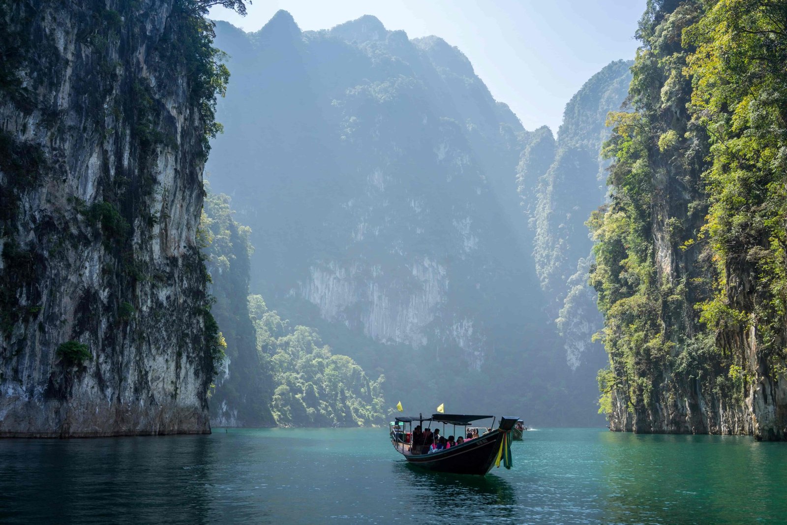
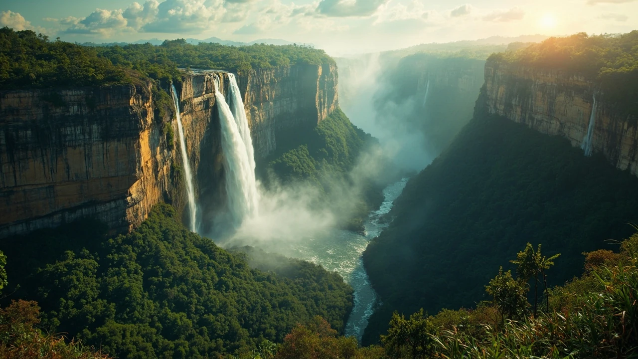
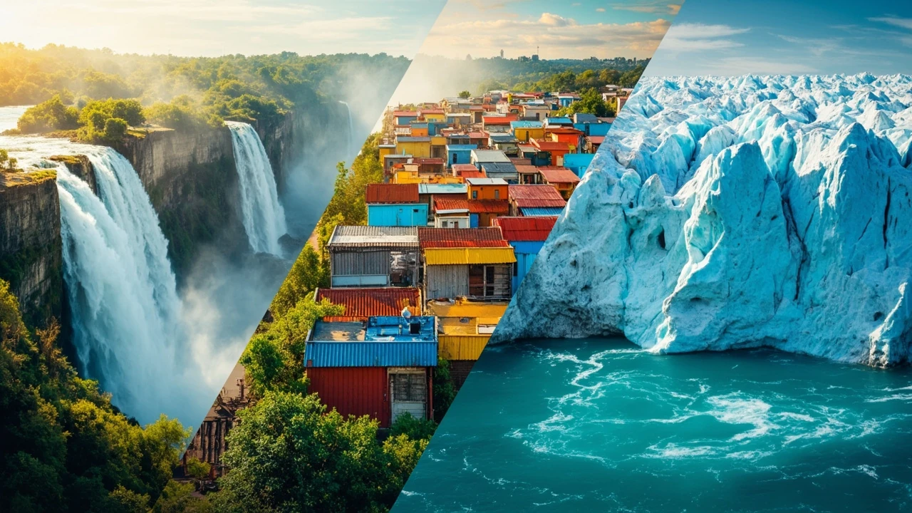
Angel Falls is Venezuela’s best-known natural landmark and one of its most dramatic. Water descends from the edge of Auyán-tepui, the immense sandstone table mountain that gives the falls its name. The viewpoint in Canaima National Park presents the falls in context: forest in the foreground, the vertical cliff beyond, and mist collecting in the valley. From the air, the scale becomes even clearer. The upper falls extend for a distance that can be difficult to appreciate from the river-level viewpoint.
The common visitor experience involves a flight over the falls, followed by a boat journey on the Caroní River. A longer boat trip can reach the base of the falls, but the experience takes much more time and depends on river, weather, and water conditions. The flight and river excursion are separate activities, and a traveler should clarify what each option includes before booking a package. Seasonal rainfall can affect visibility and access, so a responsible itinerary leaves room for a change rather than scheduling only one fixed attempt.
Canaima National Park is also the best starting point for the region’s distinctive tepuis. These flat-topped, sheer-sided mountains rise above the forest like islands in a stone sea. Journey Latin America describes the table mountains of Gran Sabana as the “Lost World,” a reference to the atmosphere created by their isolated scale. That description captures the visual impression, but the practical point is access. The park covers a vast area, roads are sparse, and distances that look manageable on a map can consume most of a day.
For most itineraries, a single organized day or overnight stay is more sensible than attempting to visit Angel Falls, multiple tepuis, and the Mount Roraima trail base in one visit. The famous overland trek to Mount Roraima begins near the Brazilian border and involves multi-day travel through the savanna and climbing the steep outer slope of the tepui. It is not a casual day hike from Canaima. Attempting the full summit route requires far more time, suitable equipment, appropriate preparation, and operators with current local knowledge.
| Canaima option | What you may see | Best for | Main limitation |
|---|---|---|---|
| Angel Falls flight and river excursion | Upper falls from the air and the broader cliff-and-forest landscape from the river | Travelers with limited time who want the signature experience | Weather sensitivity, exposed conditions, and a tightly organized schedule |
| Longer river journey | Closer views of the falls and a deeper look at the river landscape | Travelers who prefer slower travel and have more time | Longer duration and greater dependence on river conditions |
| Gran Sabana road trip | Different tepuis, villages, and changing savanna scenery | Road travelers with a local driver or operator | Long distances, remote breakdowns, and fatigue |
| Mount Roraima trek | Savanna,tepui walls, and optional summit terrain | Experienced trekkers prepared for remote multi-day travel | Weather exposure, demanding routes, and complicated logistics |
A useful packing list for Canaima is narrower than it looks. Clothing should be lightweight, quick-drying, and modest enough for boat and village visits. Add a rain layer, sun protection, sturdy footwear, insect repellent, a refillable water bottle, and a small day pack. Cameras benefit from a protective cover during boat travel, but carrying unnecessary electronics creates more risk than value. Travelers should also keep copies of their documents and an offline emergency contact list.
- Allow a full day for the standard Angel Falls excursion and avoid booking another distant destination immediately afterward.
- Keep essential medication, water, and sun protection accessible rather than buried in checked luggage.
- Ask whether the operator provides life jackets, rain protection, first-aid support, and a real weather contingency plan.
- Do not schedule a long remote drive after a physically demanding flight, boat ride, or trek.
Venezuela’s Caribbean coast: choosing beaches, reefs, and islands
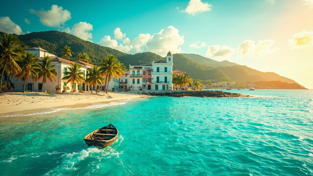
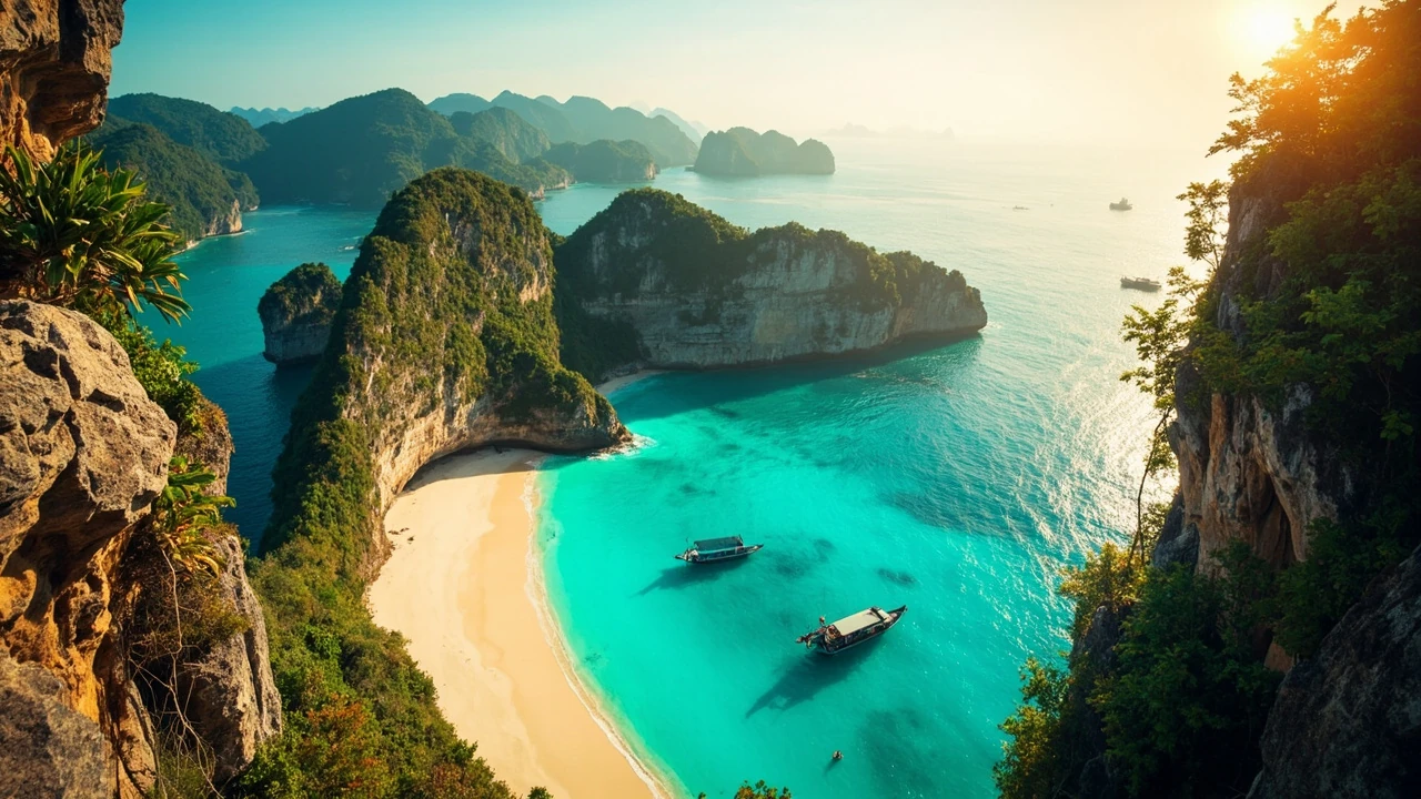
The Caribbean coastline is where Venezuela feels most like an island destination. It stretches past palm-lined beaches, coral formations, fishing settlements, and protected marine areas. The region includes very different experiences: Los Roques is an extensive archipelago reached by boat; Morrocoy has shallow coastal waters and reef scenery near the coast; Choroní sits below steep green mountains; and the Paraguaná Peninsula offers desert, beaches, historic towns, and protected waters. The visitor experience comes from the “coral archipelagos, larger islands, and offshore national marine parks” described in this verified Venezuela destination guide, which provides useful background for this point.
Los Roques works best for travelers who want a clear island rhythm. A boat is the primary means of moving between many of the destinations, and accommodations may be on a main island or a remote posada. The central question is how much island hopping you actually want. A short excursion can cover beaches and snorkeling areas, while a longer stay offers more time for sailing, diving, kayaking, or unhurried beach days. It is worth confirming the transfer schedule, what equipment is included, and whether the lodging can be reached directly when sea or wind conditions disrupt movement.
Morrocoy rewards travelers who want marine scenery without committing to the full archipelago routine. The shallow waters around the Morrocoy National Park are known for coral and mangroves, and boat trips commonly offer stops for snorkeling or wildlife viewing. Conditions matter, though. Wind, waves, and visibility can change the quality of a trip, so a reputable operator should explain how the route changes according to the day’s conditions rather than promise a fixed list of stops.
Choroní is a useful counterpoint because the beach is framed by steep, green hills. The town has a compact beachfront, while the higher road and the surrounding slopes provide views toward the water. It suits travelers who prefer scenery and a manageable coastal base over remote-island logistics. The Paraguaná Peninsula adds another atmosphere. Its dry western side includes the sweeping Médanos de Coro dunes, while the coast near the Haitian border and the protected marine environment offer a different experience. These areas should not be treated as interchangeable beach stops: distance, terrain, access, and available activities need separate planning.
| Caribbean destination | Signature experience | Best fit | Question to ask before booking |
|---|---|---|---|
| Los Roques | Boat-based island hopping, beaches, reefs, and marine parks | Travelers who want the archipelago as the main focus | How long are the boat transfers, and what happens if the weather changes? |
| Morrocoy | Shallow-water snorkeling, mangroves, and coastal excursions | Travelers seeking reef and wildlife experiences by boat | What equipment, guide, and safety provisions are included? |
| Choroní | Beach scenery framed by coastal mountains | Visitors who prefer a compact base and land-based travel | How far is the lodging from the actual beach and transfer point? |
| Paraguaná Peninsula | Desert landscapes, beaches, villages, and marine areas | Road travelers combining landscapes with coastal stops | Will the route require suitable vehicles or a local driver? |
Pack for heat, sun, and salt. Reef-safe sun protection, a hat, breathable clothing, water, and a dry bag are more useful than heavy luggage. Shoes for boats should have secure wet or sand-friendly soles. Snorkel equipment quality varies, so travelers with specific needs should request details rather than assume it will be provided. A light long-sleeved shirt offers more protection from sun and insects than heavy fabric in the tropical heat.
The Caribbean also benefits from a slower itinerary. Because transfers and weather can consume unexpected time, one major coastal base is often better than three loosely connected stops. If the trip must cover both Los Roques and the mainland coast, reserve enough time for the movement between them rather than treating the distance as a brief gap in the schedule.
Los Llanos and the Orinoco Delta: wildlife beyond the postcard
Los Llanos refers to the broad tropical savanna formed by the Orinoco and its tributaries. During the wet season, large areas flood, creating waterways where animals move between islands, marsh, and grassland. During the drier period, the same landscape becomes broad open plain dotted with trees, cattle ranches, and wildlife concentrated around remaining water. This seasonal reversal is central to understanding the destination.
The floodplains of the Orinoco are especially well suited to birdwatching. The verified Journey Latin America source specifically identifies Los Llanos as a strong wildlife destination, with capybaras and exceptional bird life among the attractions. Other animals visible with appropriate guides may include caimans, capybaras, armadillos, and different bird species. The exact animals a visitor sees depend on season, water level, local luck, and the routes chosen.
Farther east, the Orinoco Delta forms a maze of mangrove-fringed channels and sediment-covered islands. The source notes that the delta is now recognized as a UNESCO World Biosphere Reserve, a designation that helps explain why conservation and local livelihoods are central to responsible travel. A boat journey here is less about racing between landmarks and more about reading the landscape: channels, sandbars, palm vegetation, fishing communities, and wildlife along the banks.
| Wildlife experience | Best conditions to ask about | Typical viewing method | What determines the experience |
|---|---|---|---|
| Los Llanos by vehicle | Seasonal water levels and ranch access | Drive near waterways with a local guide | Wildlife concentration, timing, roads, and whether animals are accustomed to vehicles |
| Los Llanos by boat | Navigable channels during the wet season | Boat and walking excursions around flooded areas | Water depth, weather, and the location of wildlife |
| Orinoco Delta | Conditions suited to boat travel through mangrove channels | Multi-stop boat journey with local guides | Tides, currents, weather, and community-based logistics |
| Private ranch stay | Current operations and accommodation availability | Guided drives, walking, and observation from the ranch | Management practices, guide expertise, and seasonal programming |
Responsible wildlife travel means keeping distance and resisting the urge to approach animals for a photograph. A guide should explain the local rules and control the pace of the outing. Do not feed wildlife, play recorded calls to attract birds, or leave food where it could change animal behavior. Binoculars are usually more useful than a long telephoto lens because they allow quieter observation without encouraging a closer approach.
- Ask the operator which season the visit is designed for and what happens when water levels are higher or lower than expected.
- Confirm whether the itinerary is based at a working ranch, a community lodge, or a boat route, since each offers a different experience.
- Bring a wide-brimmed hat, insect protection, neutral-colored clothing, binoculars, and a dry bag for electronics.
- Allow at least one open day around the excursion so the group is not pressured to rush wildlife sightings.
The best-season question cannot be answered solely with a calendar month. Northern and southern rainfall patterns differ, and local water conditions change from year to year. Ask a current operator how they adjust routes to the season. A provider who can explain wet-season and dry-season differences is more useful than one offering a universal “best time” claim.
The Andes: Mérida, Pico Bolívar, and highland scenery
The Venezuelan Andes run along the western side of the country and create a completely different environment from the coast and lowland savanna. Mérida sits in a high valley with mountain views, lively streets, and access to outdoor attractions. The city is a practical base for travelers who want steep scenery without the level of remoteness found in Gran Sabana or the Orinoco Delta.
Pico Bolívar, Venezuela’s highest point, is reached by a combination of road, funicular, and walking. The mountain sits in a protected area with glaciers and alpine terrain that have changed considerably as temperatures have risen. Visitors should treat descriptions of the glaciers as historical rather than assuming that the ice visible in older photographs remains today. The journey itself remains the main attraction for many travelers: a ride upward, broad views across the Andes, and a clear sense of altitude.
The cable car should not be confused with a complete summit ascent. From the lower station, travelers ride to a high viewpoint and then walk toward the area associated with the mountain’s summit, depending on current access, weather, and trail conditions. Altitude, fog, rain, and ice can affect the experience. People with cardiovascular conditions or limited mobility should obtain appropriate medical advice before attempting the excursion and should ask the operator about alternatives.
Other mountain destinations include Laguna Negra, reached by a demanding road and walking excursion, and rural settlements such as Colonia Tovar, a German-influenced community in the mountains north of Caracas. The latter offers a different reason to visit: a cool highland settlement, distinctive food and architecture, and a break from the tropical lowlands. It is often treated as a side trip, but it deserves a full day rather than a hurried stop between Caracas and the coast.
| Andes destination | Experience | Physical demands | Planning note |
|---|---|---|---|
| Pico Bolívar | Funicular journey and high-altitude mountain scenery | Moderate to demanding, depending on conditions and walking | Confirm current access, weather, transport, and altitude precautions |
| Laguna Negra | Mountain lake reached by road and a steep walk | Demanding, especially in wet weather | Allow a full day and use suitable footwear |
| Mérida | Highland city, restaurants, mountain viewpoints, and onward travel | Generally manageable, with optional excursions | Build in time for weather-related changes around activities |
| Colonia Tovar | Traditional mountain town and cultural stop | Low to moderate, depending on walking | Better as a dedicated day trip than a brief transit stop |
Andean temperatures can feel quite different from the coast. A light jacket is useful even when conditions in the lowlands are hot, and rain protection matters more than heavy winter clothing. Drivers and guides should be asked about road conditions, especially for high routes. Travelers who combine the Andes with the Caribbean should schedule a climate-friendly transition rather than packing only for the coast.
Coro, Caracas, and historical stops in the west and center
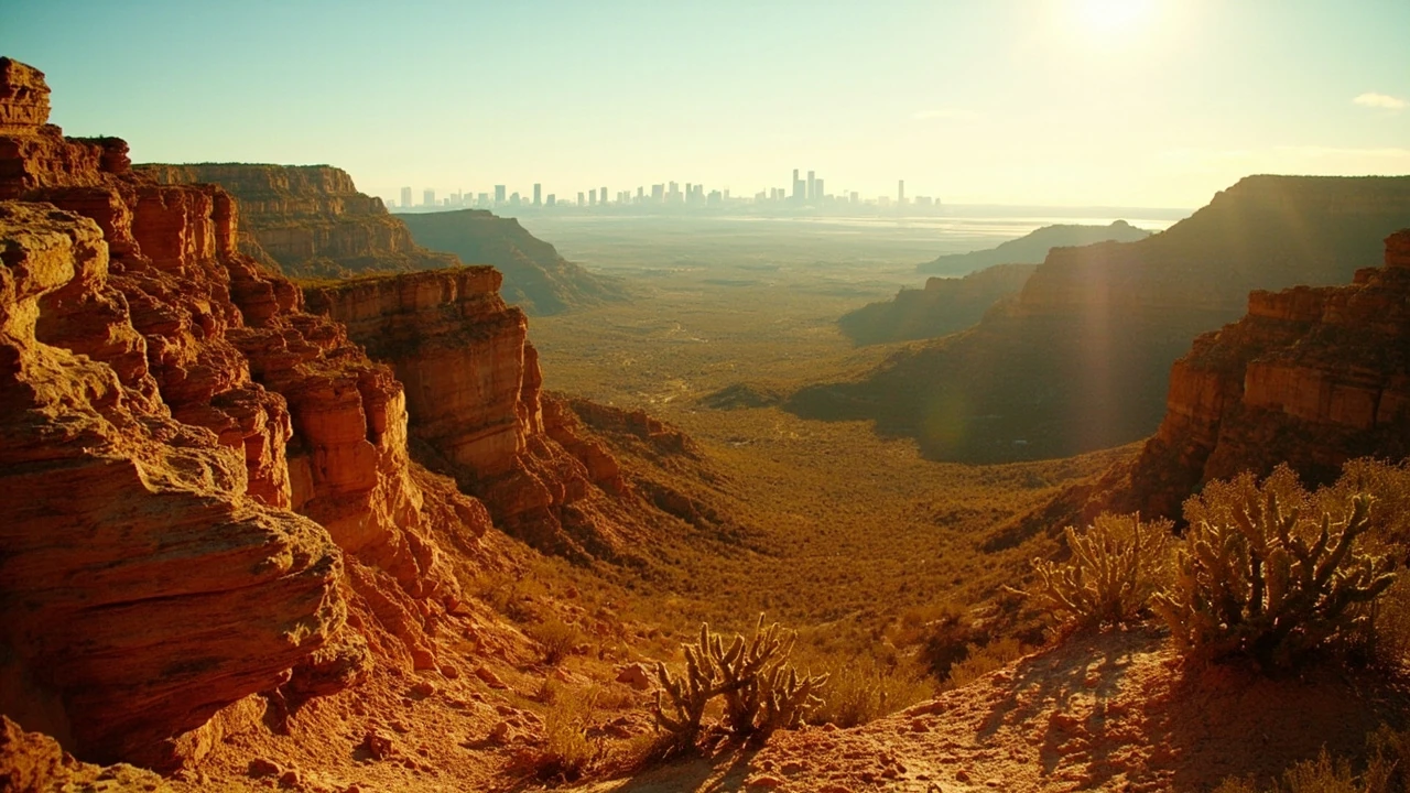
The Paraguaná Peninsula offers one of Venezuela’s most distinctive landscapes: a broad desert where pale dunes meet a blue Caribbean sea. The Médanos de Coro dunes are most closely associated with nearby Coro, a city recognized for its historic links to colonial Venezuela. The contrast is striking. Visitors can move between arid sand, fishing settlements, beaches, and the sea without encountering the same rainforest scenery found elsewhere in the country.
Coro deserves more time than a hurried beach stop. Its streets, older architecture, religious landmarks, and position between desert and coast create a different travel experience. Some excursions also continue toward the western end of the peninsula, where the landscape becomes more sparsely populated. The distances are considerable, so a guided or locally driven visit is generally more practical than improvising the entire route independently.
Caracas functions as a political, cultural, and commercial center. Attractions can include museums, contemporary art spaces, dining neighborhoods, and viewpoints over the city and surrounding mountains. A visitor interested in Venezuelan culture may find urban time worthwhile, especially when combined with a guide who can explain contemporary life beyond the country’s political image. The city also serves as a gateway to Colonia Tovar and other parts of the central mountain range.
Because Caracas has changed more rapidly than many long-established tourism centers, expectations should be specific rather than based on older travel guides. Ask the local host or operator about current neighborhood conditions, transportation, opening schedules, and what is realistically reachable in the time available. A central or well-connected accommodation base is usually preferable to a remote property when most activities take place in the city.
The west and central regions are strongest as a focused cultural and landscape itinerary. For example, Caracas and Colonia Tovar can form a mountain-focused trip, while Coro can combine with the western peninsula. Trying to include Mérida, the capital, and Coro in the same short trip creates excessive road time and weakens the experience in every stop.
How to build a safe, realistic Venezuela itinerary
The most effective itinerary starts with fewer ambitions. Choose one landscape and one contrasting environment. A strong pairing might combine Angel Falls and Canaima with several days on the Caribbean. Another could place Mérida and the Andes beside Los Llanos. A traveler interested primarily in wildlife might spend most of the trip around the Orinoco and add Caracas for urban culture.
Build in transfer time. Venezuela is large, and road distances can be deceptive. A map may show that two places are a manageable distance apart, yet airport procedures, weather, road works, fuel stops, and local driving conditions can extend the journey. A minimum of one buffer day is wise for any itinerary involving a flight connection, a boat transfer, or a remote destination.
Transportation arrangements should be confirmed close to travel. Domestic flights can be useful over long distances, while organized land transfers may be more practical between nearby regions. Ask what happens if a flight is delayed, a boat cannot depart, or a storm interrupts a road journey. The quality of a provider’s contingency plan is a better indicator of reliability than a polished itinerary alone.
- Confirm current official travel guidance and entry requirements for every country on your itinerary, not only Venezuela.
- Choose a regional focus and reserve enough days for realistic transfers rather than collecting place names.
- Use an operator with current local knowledge for remote roads, rivers, mountains, and wildlife areas.
- Carry the required documents, payment method, medications, water, and emergency contacts in accessible form.
- Keep a separate buffer day before international departure and avoid making the final day depend on a long regional transfer.
- Reconfirm reservations, weather, and local conditions shortly before each major excursion.
Money and communication should be planned before departure rather than solved after a problem occurs. Ask the operator which payment method is currently accepted, whether ATMs are available at each stop, and how much cash is useful. Carry only what is necessary and keep backup payment methods in separate places. Internet access may be inconsistent outside major centers, so download maps, translations, tickets, and emergency details in advance.
Health preparation deserves the same attention. Consult a travel-health professional about routine vaccines, destination-specific advice, and any medication you regularly use. Remote areas may have limited access to medical services, which makes insurance coverage and evacuation planning important. Bring a small first-aid kit that suits the activities, with blister care, sun protection, insect repellent, and treatment for common travel complaints.
For comparison, travelers who enjoy similar planning challenges can examine how Costa Rica landmarks are mostly about nature, or how South Japan feels like several different countries packed together. Those destinations are different, but both illustrate the value of matching a trip’s structure to its geography instead of relying on a generic list of “must-sees.”
Frequently asked questions
What are the most famous places in Venezuela?
The best-known choices include Angel Falls and the tepuis of Canaima, Los Roques and the Caribbean coast, the Orinoco Delta and Los Llanos, Pico Bolívar and the Mérida area, the Médanos de Coro dunes, and Caracas. The right choice depends on whether you prioritize wilderness, beaches, wildlife, mountain scenery, history, or urban culture.
Which Venezuelan destination is best for a first visit?
Angel Falls and Canaima offer the country’s most distinctive landscape and work well for travelers who can manage remote transfers and a guided excursion. The Caribbean coast is a strong alternative for beach and marine experiences. A first trip is usually better with a single major region than with several distant stops.
Do you need a guide to visit Angel Falls?
For the standard flight, river excursion, or a visit to Gran Sabana, using an experienced operator is the most practical approach. Remote roads, river logistics, weather, and flight connections require current local knowledge. A guide does not remove every disruption, but a reputable operator should explain the route and contingency plans in advance.
When is the best time to visit Los Llanos?
The best timing depends on the experience and current rainfall. Flooded conditions favor boat travel and wetland bird viewing, while drier periods expose more land and concentrate wildlife around remaining water. Ask an operator how the routes change in the season of your visit rather than relying on a fixed month-to-month rule.
Can travelers visit the Mount Roraima trek?
Mount Roraima is a demanding multi-day destination reached through a remote approach that begins near the Brazilian border. The summit extension requires additional time, effort, and suitable preparation. Travelers should only consider it with a reputable operator, realistic fitness expectations, and a plan that accounts for exposed weather and difficult terrain.
Which Caribbean island is easier to reach: Los Roques or Morrocoy?
Morrocoy is generally the more compact mainland-based option, with boat excursions to nearby coastal and marine areas. Los Roques is a much larger archipelago with a stronger island-stay identity and more extensive boat transfers. Choose based on the number of days available, the type of activities wanted, and your tolerance for marine travel.
Is Caracas a good place to include in a Venezuela itinerary?
Caracas can be valuable for visitors interested in museums, art, food, urban culture, and the central mountain region. It requires deliberate planning because current conditions may affect transportation and the attractions operating at the time. A short, well-organized urban stay is usually better than adding Caracas to a remote route without extra time.
What should I pack for the Venezuelan Andes?
Pack layers, rain protection, sturdy footwear, and sun protection rather than heavy winter clothing. Conditions vary with altitude and weather. For Pico Bolívar or Laguna Negra, also allow for longer walking, sudden temperature changes, and wet or slippery surfaces.
Is it safe to travel independently in Venezuela?
Safety depends on current official guidance, the region, local conditions, and the mode of travel. Do not make this decision from an old forum post or a general destination article. Check the latest government advisory, choose reputable local arrangements, avoid displaying valuables, and have an evacuation plan. If the circumstances or available support do not feel sound, changing the itinerary is the safer decision.
How many destinations should I include in a Venezuela itinerary?
Two major destinations are usually enough for a rewarding one- or two-week trip. Three can work when travel connections are efficient and the traveler is comfortable with long transfers. More than three often means spending much of the holiday in a vehicle, so fewer stays usually produce a better experience.
Leave a Reply